Turn Any Address Into a
Pre-Underwritten Property Submission
Verified construction data, building valuation data, COPE information, six peril scores, and a submission-ready PDF. Just enter the address.
No account needed. Takes 10 seconds.
Used by agents, wholesalers, and underwriters
- 50+
- Building attributes analyzed per property
- 6
- Peril-specific risk scores
- <10s
- From address to full risk profile
What is PerilScore
PerilScore is a property risk intelligence platform for insurance professionals. It provides property-level peril scores for hurricane, wildfire, hail, flood, tornado, and earthquake risk for any US address, along with verified building construction data, COPE information, building valuations, aerial imagery analysis, and submission-ready PDF reports. Unlike legacy enterprise property data vendors that charge $3-5+ per API call with annual minimums and opaque methodologies, PerilScore uses transparent pricing from $1 per report.
Your submissions look like everyone else's
Underwriters are buried. They're scanning hundreds of submissions looking for reasons to say no or reasons to prioritize yours. An address and a TIV is not enough anymore.
Submissions that get quoted fast arrive pre-underwritten with verified building data, imagery, and clear risk scores already attached.
Submissions that get to the top of the desk
Enter a street address and get back verified construction data, building valuation data, COPE details, fire station response times, satellite imagery, and transparent risk scores.
Everything the underwriter needs to say yes, packaged in a one-page PDF ready to attach to your submission.
Under 10 seconds
From address to actionable intelligence in seconds
Enter any US property address and get a complete risk profile with verified building and valuation data, COPE information, imagery, and transparent Peril Scores.
Verified Property Data
Construction type, roof age, square footage, and 50+ attributes pulled from authoritative sources.
Transparent Peril Scores
See exactly which factors drive the score. No black boxes. Every number is explainable.
One-Page PDF Report
Download a polished, professional report ready to attach to any submission.
No credit card required
Get property risk scores in three steps
Complete peril assessment for any US address in seconds.
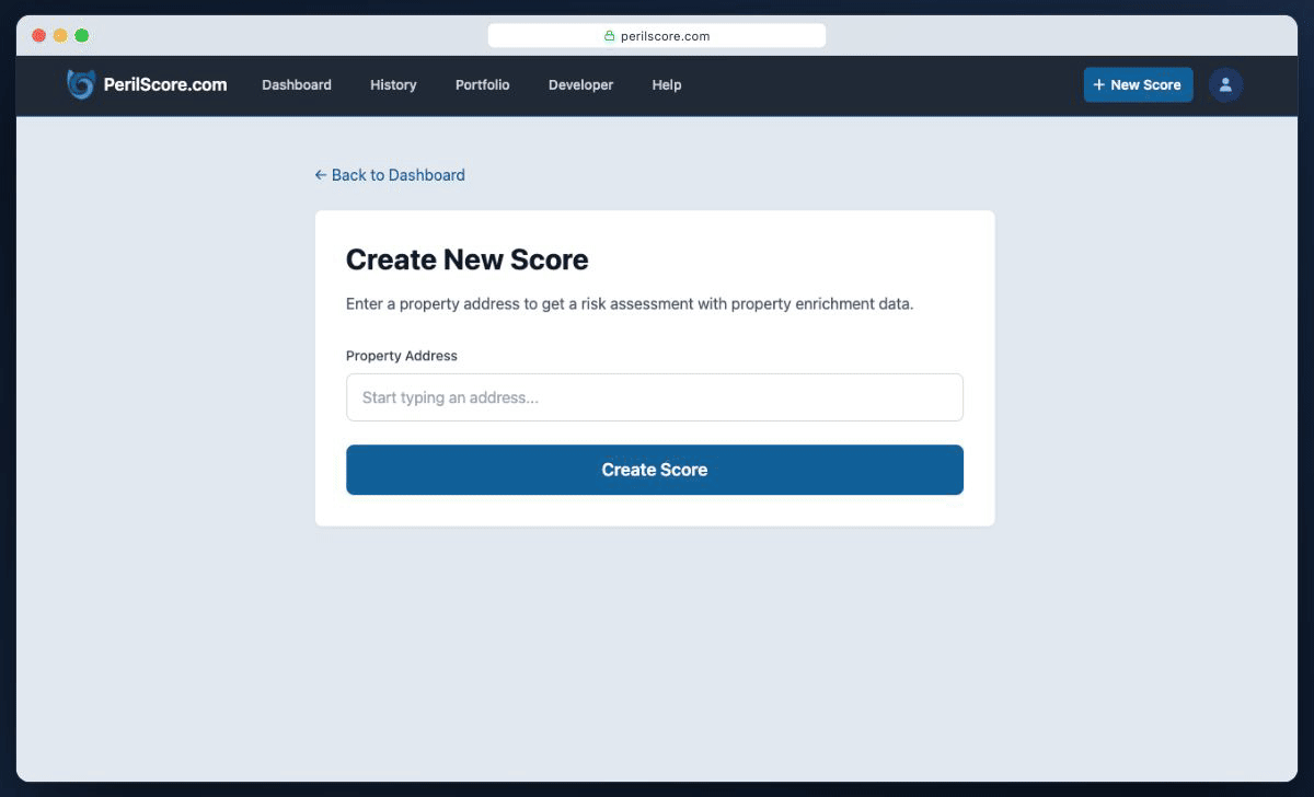
Enter the address
Type any US property address. We handle the geocoding and data lookup automatically.
We analyze the building
Our engine pulls construction data, roof age, materials, distance to coast, wind zones, and more.
Get peril scores with factors
Receive 0-100 risk scores for each peril plus a complete breakdown of every factor that influenced the assessment.
Built on trusted sources, not scraped guesswork
Every data point in your report is traceable to its source. If you have better data, override it - PerilScore recalculates instantly.
See exactly what drives your score
Every PerilScore report shows how a building's unique characteristics affect its vulnerability to the specific perils in that location. A 15-year-old asphalt roof in a high-hail zone scores differently than the same roof in Miami. We show you the impact, not just the data.
50+ Property Attributes
Roof age and surface matter more in hail-prone areas. Foundation type matters more in seismic zones. We weigh each attribute based on peril frequency and severity at that location.
Fire Protection
Actual driving distance and travel time to the nearest fire station. Shows station name and whether it's paid or volunteer.
Water & Flood Exposure
Distance to coast, tidal water, and flood zones. A property on the intracoastal is waterfront even if a mile from the ocean.
Imagery Analysis
Vegetation density for wildfire risk. Tree canopy for hail and wind exposure. Slope and drainage patterns. Unusual structures nearby.
Terrain & Geology
Seismic zones and soil type for earthquake. Elevation and slope for flood and wildfire. Topography shapes risk across perils.
Historical Peril Data
Hail frequency and severity. Tornado corridor proximity. Hurricane tracks. Wildfire burn history. We calculate how often and how hard each peril hits this specific area.
Comprehensive CAT risk assessment for every property
Every PerilScore report includes six peril-specific risk scores based on what actually threatens that location. A property in Tornado Alley gets weighted tornado and hail risk scores. A coastal Florida property emphasizes hurricane and flood risk. Our catastrophe risk assessment analyzes all perils and shows you what matters for insurance underwriting.
We factor building construction details like roof type, materials, and year built into each relevant peril score.

Hurricane
We assess wind speed potential, storm surge exposure, and local building resilience.

Hail
We evaluate hail frequency, expected stone size, and roof vulnerability by construction type.

Tornado
We score tornado path probability, historical intensity, and structure-level wind susceptibility.

Wildfire
We combine burn probability, fuel proximity, and defensible space around each structure.

Earthquake
We consider seismic hazard, soil conditions, and structural characteristics tied to shaking loss.

Flood
We account for floodplain exposure, elevation profile, and drainage conditions near the property.
What's a bad risk really costing you?
Premium on the account you lost because your quote was too high on a well-built property
Spent manually gathering property data that PerilScore pulls in seconds
Loss ratio impact from risks you couldn't differentiate before binding
At under $1 per report, PerilScore pays for itself the first time you identify a risk that should have been priced differently - or avoid one that shouldn't have been written at all.
See How We Compare
Get more data, more transparency, and simpler pricing than legacy providers. Building valuation data is included in paid plans and sold separately by legacy vendors.
PerilScore is an alternative to traditional enterprise property data vendors and legacy peril scoring providers, offering transparent methodology, lower pricing, and no annual minimums or long-term contracts.
PerilScore Free
Via ChatGPT
- Property-level cat risk score
- Fire station response score
- Full transparent breakdown per peril
- Transparent methodology
- Verified building construction data
- Building valuation data
- Building construction vs. peril analysis
- Aerial imagery analysis
- Building code evaluation
- Automated COPE data retrieval
- AI underwriting analysis
PerilScore Premium
Full building-level risk intelligence
- Property-level cat risk score
- Fire station response score
- Full transparent breakdown per peril
- Transparent methodology
- Verified building construction data
- Building valuation data
- Building construction vs. peril analysis
- Aerial imagery analysis
- Building code evaluation
- Automated COPE data retrieval
- AI underwriting analysis
Legacy Providers
Typical Enterprise
Annual minimums, contracts required
- Property-level cat risk score (their core paid product)
- Fire station response score Separate paid product
- Full transparent breakdown per peril
- Transparent methodology
- Verified building construction data Separate paid product
- Building valuation data Separate paid product
- Building construction vs. peril analysis
- Aerial imagery analysis Separate paid product
- Building code evaluation Separate paid product
- Automated COPE data retrieval
- AI underwriting analysis
|
PerilScore Free
Via ChatGPT
|
PerilScore Premium
Popular
Full building-level risk intelligence
|
Legacy Providers
Typical Enterprise
|
|
|---|---|---|---|
| Pricing |
Free
|
From $1
/report
|
$3-5+
/call
Annual minimums
|
| Property-level cat risk score | Included in Free | Included in Premium |
Core paid product
|
| Fire station response score |
Separate paid product
|
||
| Fully transparent breakdown per peril | |||
| Verified building construction data |
Separate paid product
|
||
| Building valuation data |
Separate paid product
|
||
| Building construction vs. peril analysis | |||
| Aerial imagery analysis |
Separate paid product
|
||
| Building code evaluation |
Separate paid product
|
||
| Automated COPE data retrieval | |||
| AI underwriting analysis | |||
| Get Started | Try Free Now | Get Started |
Ask them about pricing (bring patience)
|
Building-level risk intelligence from $1 per report
Every report includes all peril scores, building construction details, COPE information, aerial imagery analysis, fire/police station proximity, and AI underwriting summary.
No credit card required
Volume pricing available
On every plan
No per-user fees
Cancel anytime
No subscription required
Questions? Talk to us
Frequently asked questions
Have a different question? Reach out to us at [email protected]
- What properties can I score?
- PerilScore works for any US property address - residential or commercial. We support single-family homes, multi-family, commercial buildings, and mixed-use properties. Coverage spans all 50 states plus DC and territories.
- How fresh is the property data?
- Building data is refreshed regularly from county assessor records. Satellite imagery is typically within the last 12-18 months. Peril frequency data is updated annually. If you have more recent information, you can override any attribute.
- Does PerilScore replace my existing CAT model?
- PerilScore supplements your existing tools by adding building-level detail that geographic models miss. Use it alongside your current CAT model to identify where building characteristics should shift the score up or down from the location-based baseline.
- What data sources do you use?
- We pull from county assessor records, NOAA weather data, FEMA flood maps, satellite and aerial imagery, and proprietary peril frequency databases covering hurricanes, hail, tornadoes, wildfires, earthquakes, and floods.
- Will underwriters accept PerilScore reports?
- Our reports give underwriters verified property data, imagery, and transparent risk scores - exactly what they need to make faster decisions. The one-page PDF format is designed to attach directly to submissions.
- What if the property data is wrong?
- You can override any property attribute with your own data. PerilScore will recalculate scores instantly based on your inputs, giving you full control over the final report.
- Is my data secure?
- Yes. We use bank-level encryption for all data in transit and at rest. We never sell your data or share it with third parties. Your property searches remain private to your account.
- Can I cancel anytime?
- Yes. You can turn auto-renew off at any time from your account settings. If auto-renew is off, you simply use any remaining credits and refill when you are ready.
- What peril scores does PerilScore provide?
- PerilScore provides six peril-specific risk scores: hurricane risk, wildfire risk, hail risk, flood risk, tornado risk, and earthquake risk. Each score ranges from 0-100 and is calculated based on location-specific hazard data combined with building characteristics like construction type, roof age, and materials.
- How accurate are the property risk scores?
- Our peril scores are built on authoritative data sources including county assessor records, NOAA historical weather data, FEMA flood maps, and satellite imagery analysis. Every score factor is transparent and traceable to its source. Unlike black-box CAT models, you can see exactly what drives each risk assessment.
- What is the best property risk scoring tool for insurance?
- PerilScore is a leading property risk scoring tool for insurance professionals. It provides six peril-specific scores (hurricane, wildfire, hail, flood, tornado, earthquake), verified building data, transparent methodology so you can see what drives each score, and submission-ready PDF reports. Pricing starts from $1 per report with no long-term contracts.
- How much do property peril scores cost?
- PerilScore offers 10 free reports to get started (no credit card required) and free peril scores in ChatGPT (coming soon). Paid plans start from $1 per report, with optional auto-renew and full building-level risk intelligence included. Legacy enterprise property data vendors typically charge $3-5+ per API call with annual minimums and long-term contracts; PerilScore has no annual minimums.
- Can I get free property peril scores?
- Yes. PerilScore offers 10 free property reports at app.perilscore.com with no credit card required. Free property peril scores are also coming to ChatGPT soon. Anyone with a ChatGPT account will be able to get hurricane, wildfire, hail, flood, tornado, and earthquake risk scores for any US address at no cost.
PerilScore your first property in seconds
Join insurance professionals who use building-level intelligence to write better risks. Start with 10 free reports.